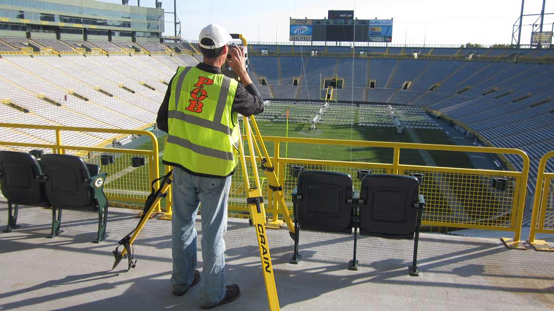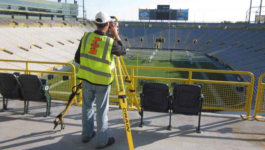
Lambeau Field - Green Bay, WI
Why choose Point of Beginning, Inc. over other surveying companies? The success of our business is rooted in the ability to adapt to all sizes of projects, from single family residential to large municipal and industrial developments. This same adaptability keeps POB competitively priced throughout Wisconsin, which, in turn, keeps us abreast of the ever changing State, Federal and Municipal rules, regulations and processes. Use our experience, state of the art equipment, and passion for excellence to ensure the best use of your site in the most economic fashion.
POB has built three prominent and successful survey divisions within the company to include Transportation & Site Construction Layout, Boundary & Topographic Survey, and 3D Modeling & Machine Control.
Services
- Residential surveying
- Site construction layout
- Topographic mapping
- Boundary surveying
- ALTA/ACSM land title surveying
- State highway construction staking
- Condominium platting
- Subdivision platting
- D.O.T. right of way plats
- Machine Control


